
A few words about the author... ...
As the following few lines show, imagery has been the common thread throughout my professional career: graphics conveying meaning and sound—or the hieroglyphics developed by Egyptian civilization; photography capturing the historical and natural heritage of the Occitanie region—particularly the Lauragais territory; photographism illustrating the changes in our environment under the pressure of human activities; digital simulation and 3D modeling that allow us to travel back in time and throughout the Solar System, ... All these still and moving images are intended to inspire both wonder and a multitude of questions about our place on this Earth and our place in the Universe.


Author
Karine Gadré,
Culture Diff' company-header and founder,
Doctor of Astronomy, University of Toulouse, France,
Member of the Astronomers for Planet Earth Collective,
Member of the Science(s) en Occitanie network

Idea -> Action | Ph.D | Link-in-Bio
The starting point ...
As a child, I used to look up at the sky. From my bedroom window in the winter, I could see the full Moon rising: a huge, whitish disk resting on the horizon. In the southeastern corner of the sky, the Sun moved, like a yo-yo, in time with the frosts. In the summer, a multitude of points of light dotted the sky, from the zenith to the horizon, in every direction. So many images etched in my mind, emotions felt, thoughts sketched out!
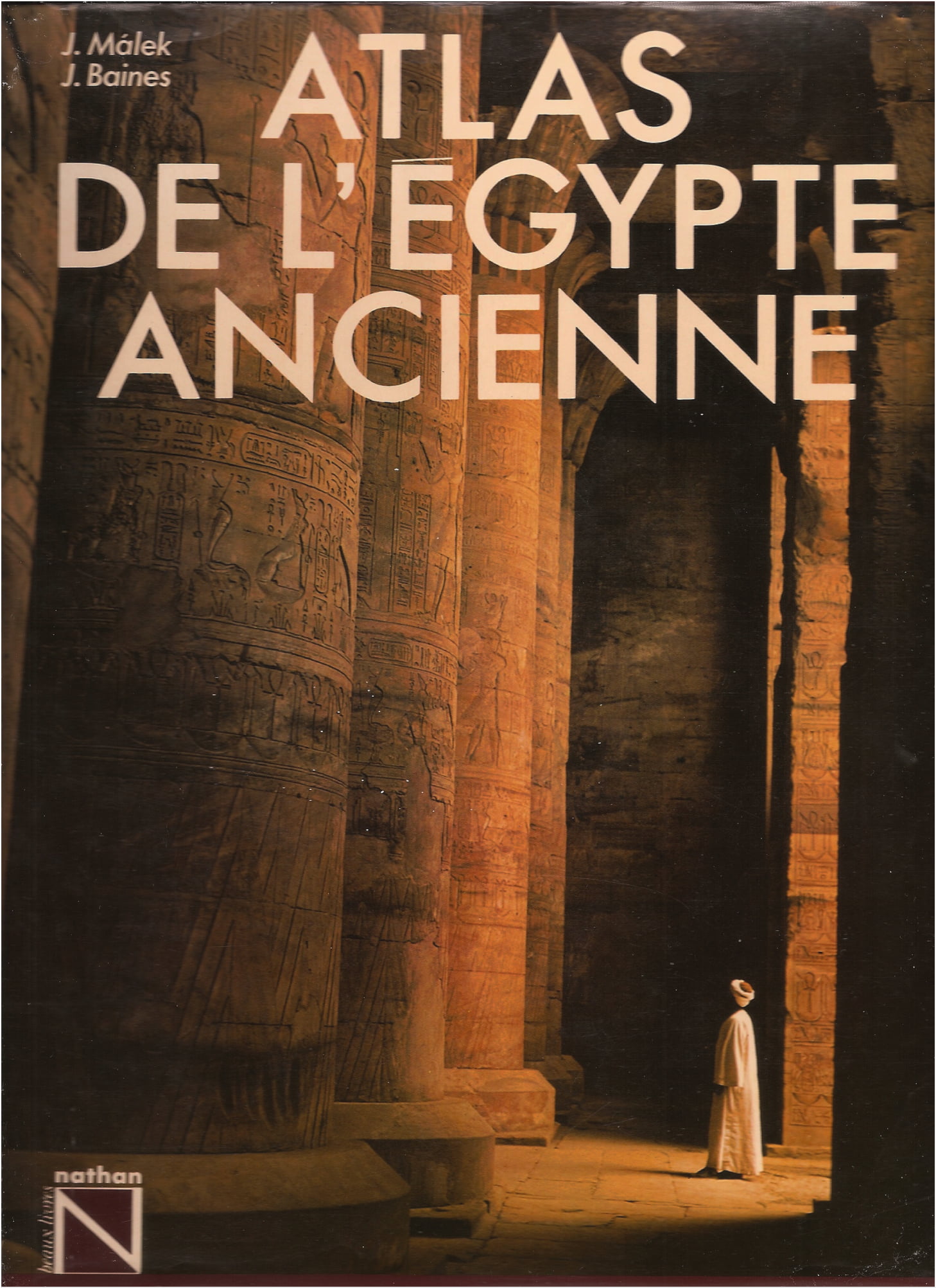
When I turned ten, my parents gave me an illustrated book that has become a worldwide standard: « Atlas of Ancient Egypt » by Jaromír Málek and John Baines. On the cover was a man gazing at a structure dating back thousands of years: the Hypostyle Hall of the Temple of Edfu, with its magnificent columns adorned with hieroglyphic inscriptions, each illuminated in turn by the Sun's rays. Just like the pages of a book you flip through, of this work composed of long paragraphs interspersed with maps, photographs of explored sites, excavated artifacts, reproductions of inscriptions, ...
Doctoral Dissertation
Light bathes the Sky and Earth of Egypt: light from the Moon and the Sun, reflected by every patch of this sandy desert which is crossed from south to north by a long, verdant ribbon—the Nile Valley; light from distant celestial bodies as well (planets, stars, galaxies), which, like tiny shining points, pierce the deeply dark sky.
The Sun, the Moon, the stars, and the constellations they form, as well as the planets, are mentioned in Egyptian texts: their hieroglyphic names adorn the interior walls of royal pyramids built at the end of the Old Kingdom, the lids of sarcophagi dating from the end of the First Intermediate Period and the Middle Kingdom, the ceilings of temples and tombs from the New Kingdom, and so on. In total, no fewer than a hundred archaeological artifacts mention the names of stars which, like Sirius—the brightest of them all—remained invisible in the Egyptian sky for some 70 days a year.
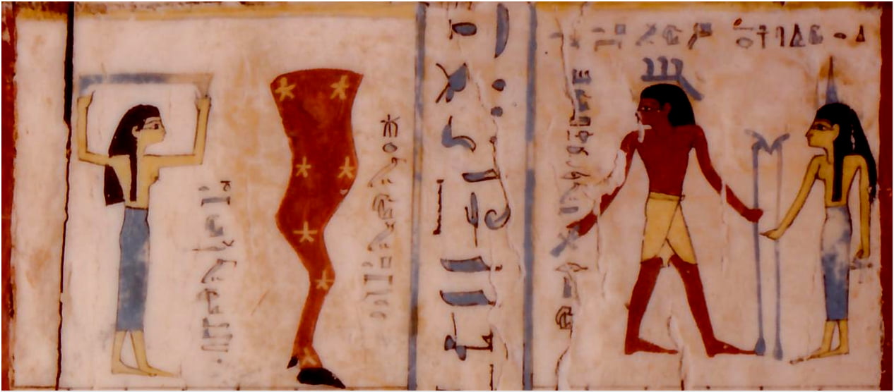
Graphics depicting the night sky, the constellation Ursa Major, the constellation Orion, and the star Sirius (from left to right)
What are these stars? Where are they located in the sky? Which constellations do they outline? Identifying them one by one, based on the textual information at our disposal and using digital tools designed for this purpose, was the subject of my doctoral dissertation, which I defended in 2008 before a thesis committee composed of Astronomers and Egyptologists. It resulted in a cartography of the sky of ancient Egypt.
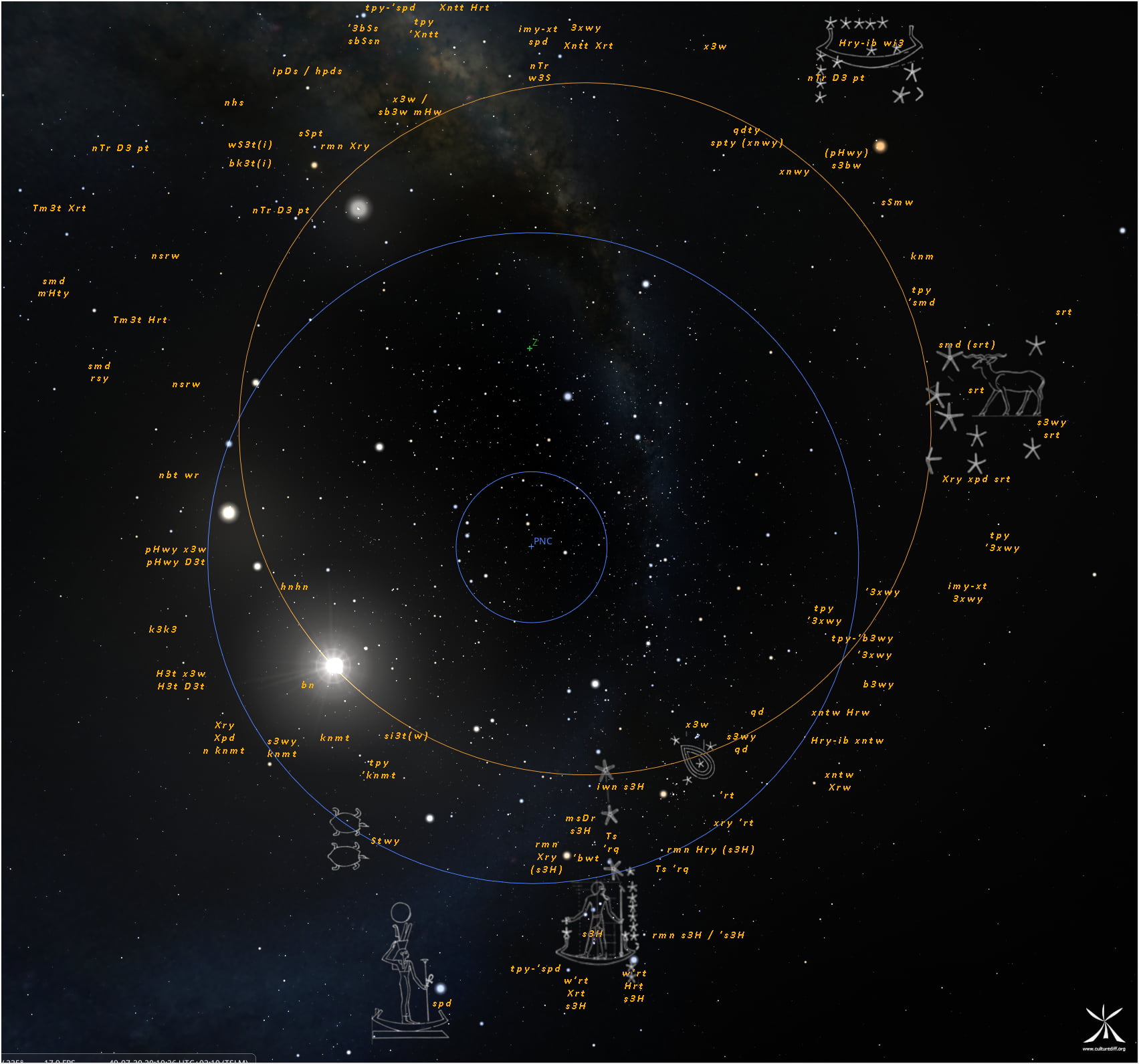
The positions of the stars in the southern sky of ancient Egypt along the ecliptic line (the orange circle)
Sciences in the Land of Oc
At the dawn of the 21st century, digital photography was experiencing a real boom. Technological advances now made it possible for anyone to capture—using a simple camera equipped with the right lens—the sky and the objects filling it, the Earth, and our environment.
While traveling through my adoptive region, Occitanie—particularly the Lauragais area—I had the idea to take photographs and write short texts that would offer a simple introduction to various scientific concepts: the creation of the world, the movement of stars and planets, the emergence and evolution of life on Earth, the human-nature cohabitation; and finally, the Anthropocene.
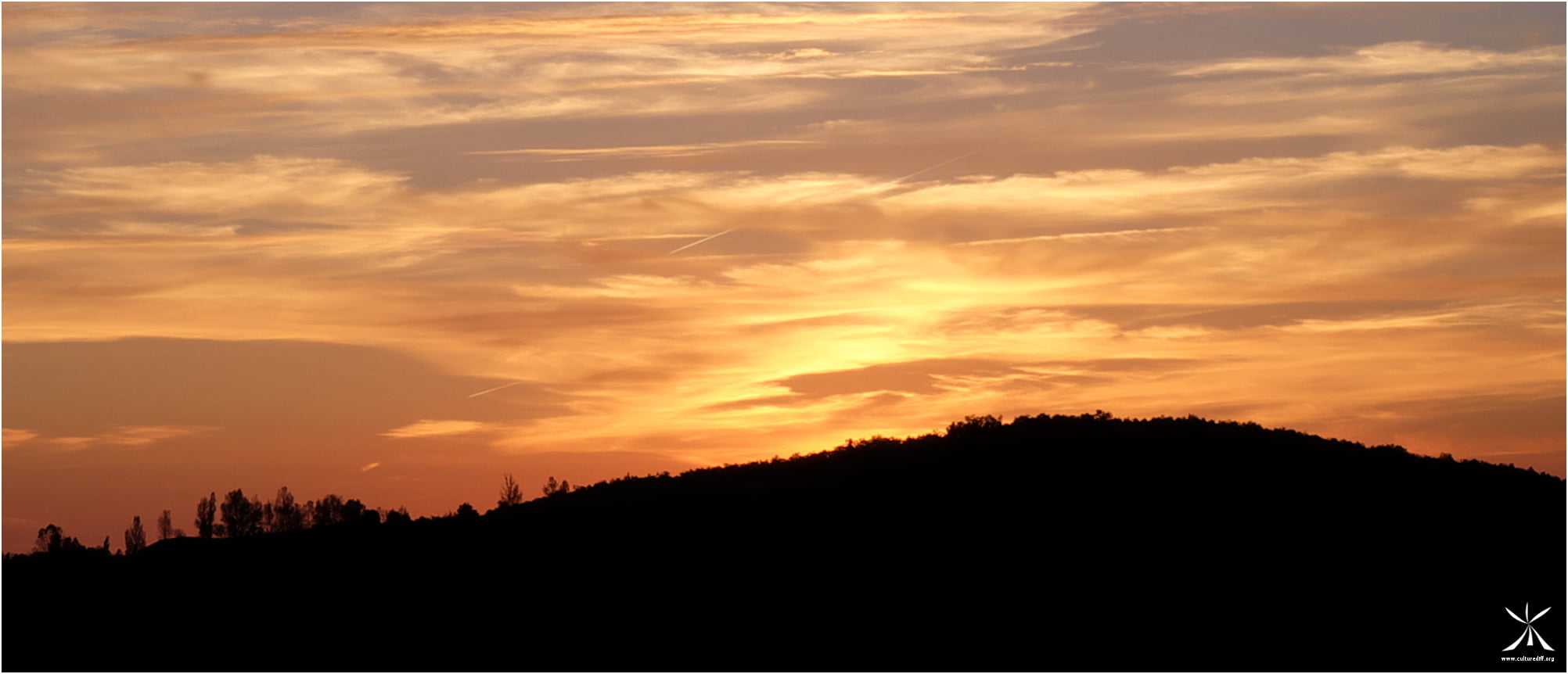
Sunset over the Aveyron Gorges
Some of the images captured using photographic techniques have undergone specific algorithmic processing to best illustrate the intended scientific concept. Other images, intended to depict realities that are physically inaccessible—whether far in the past or the future—have been generated using specific digital tools: mapping, algorithms, and graphical interfaces. Consequently, these snapshots consist of screenshots and animations from computer modeling.
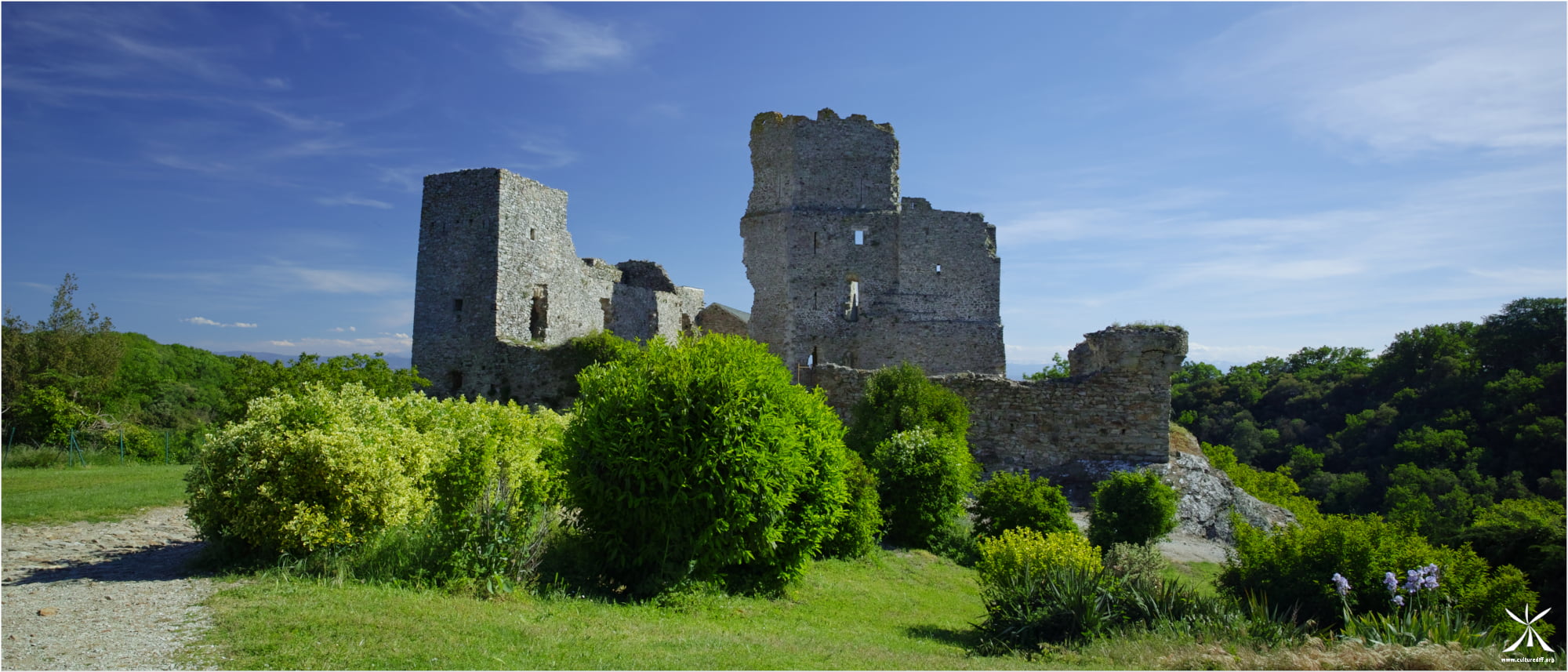
Photography of the Castle of Saissac in the Aude, erected at the end of the XIIth century.
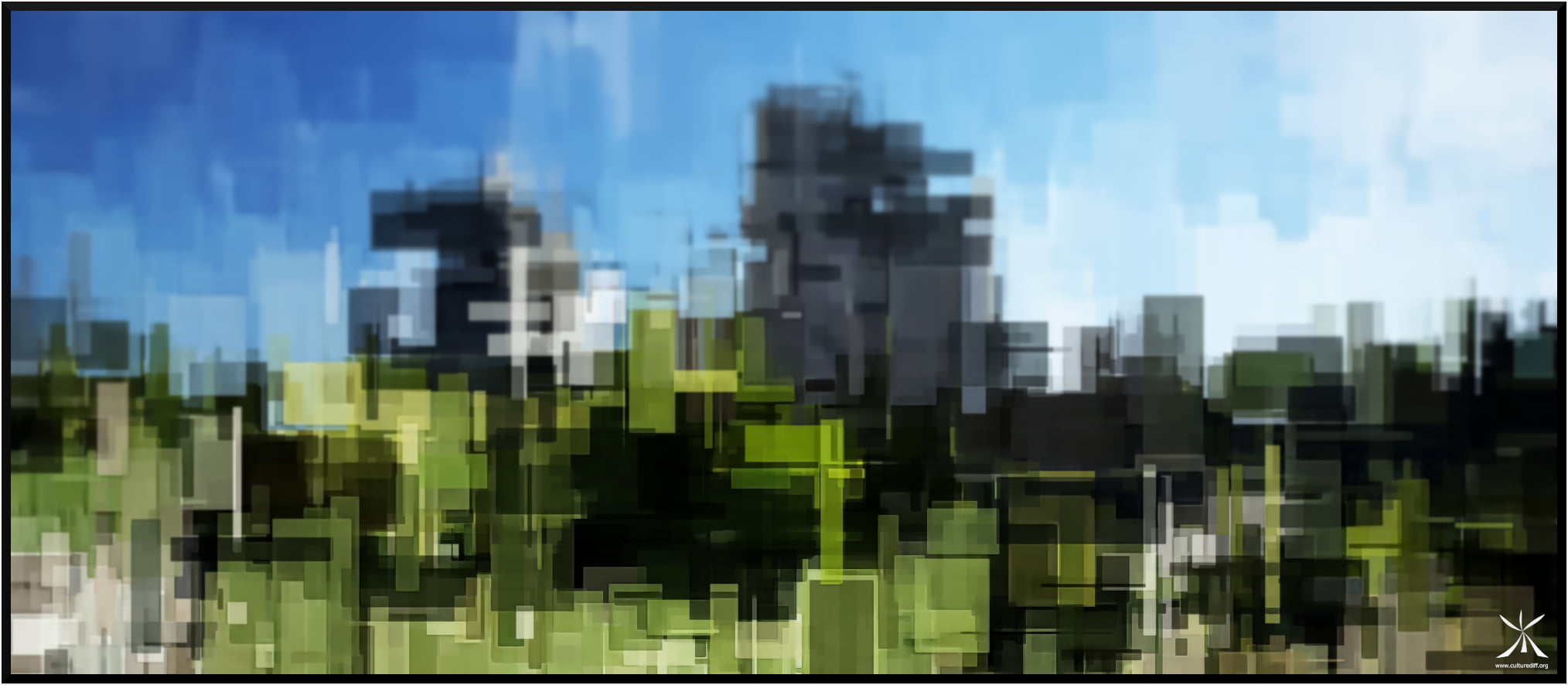
The photographism above, created by applying image-processing algorithms to a photography of Saissac Castle, explores the themes of industrialization and urbanization during the Anthropocene. More info ...
Citizen Science
In the age of smartphones, capturing images (and sounds) has become accessible to everyone—without any prior training. When combined with information about time (the moment of observation) and space (geolocation), these recordings can enrich the databases of institutions such as the Muséum National d'Histoire Naturelle, thereby contributing to the spatiotemporal monitoring of animal, plant, and fungal species; to the study of the impacts of climate change and habitat destruction on the concerned populations; and, consequently, to the implementation of appropriate protective measures.
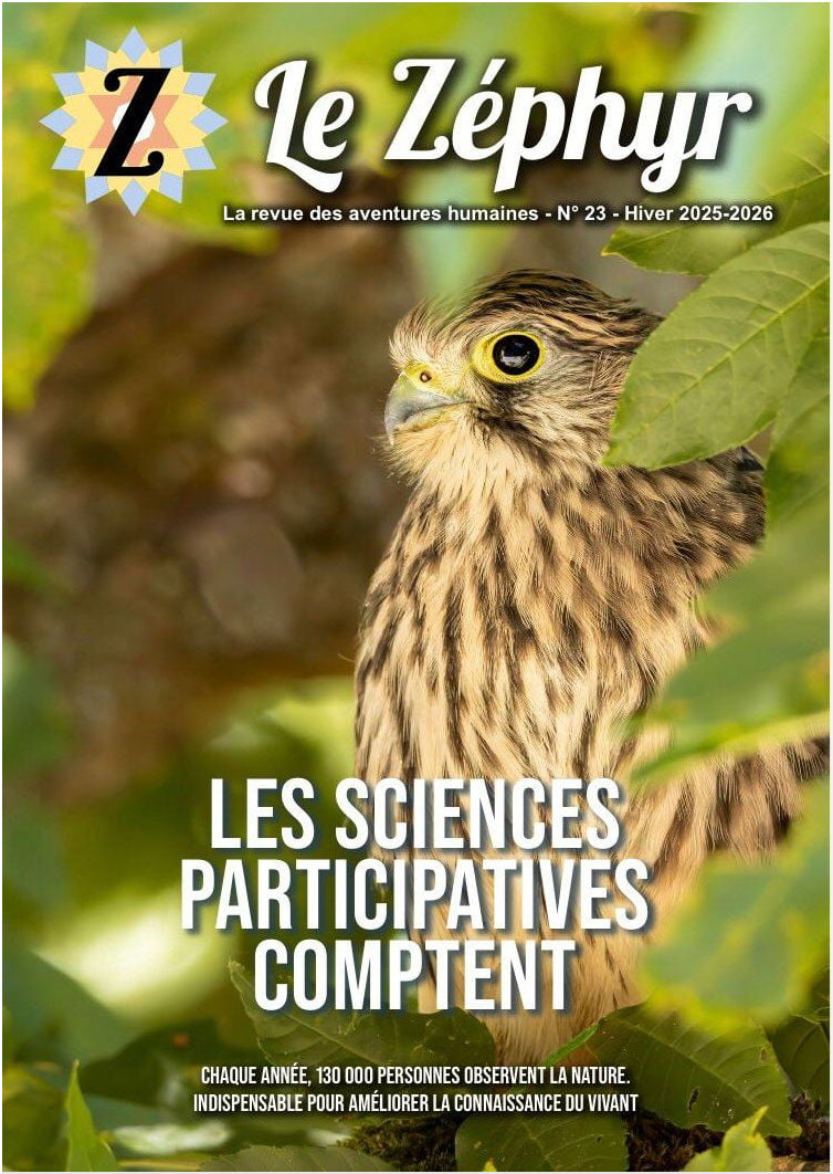
This approach is known as citizen science. It invites all citizens to become active participants in contemporary science by collecting and sharing their observations (visual and/or audio) through dedicated apps. It was the subject of an entire issue of the independent media outlet « Le Zéphyr » (2026).
An introductory workshop on participatory science was presented to an audience of outdoor enthusiasts (hikers and cyclists, with and without disabilities) during the 6th edition of the Nuits des Forêts (June 6, 2026) and during the HandiSports Day in the Outdoors (September 19, 2026). A hands-on participatory science workshop designed for urban and family audiences is currently being developed. It will be presented as part of the TEPOS (Territoires à Energie POSitive) village organized by the Revel City Hall (October 3, 2026).